|
| *****SWAAG_ID***** | 950 |
| Date Entered | 24/09/2016 |
| Updated on | 24/09/2016 |
| Recorded by | Tim Laurie |
| Category | Settlement |
| Record Type | Archaeology |
| SWAAG Site | Eskeleth Low Moor |
| Site Access | Public Access Land |
| Record Date | 18/09/2016 |
| Location | Seal Houses Low Moor from NY 399019 504577 to NY 399518 504397 and at NY 399362 504775 |
| Civil Parish | Arkengarthdale |
| Brit. National Grid | NY 3990 5046 |
| Altitude | 375m-400m |
| Geology | Gritstone over shale. |
| Record Name | Field boundary system, unenclosed settlements and burial monuments on Seal Houses Low Moor, then and now. |
| Record Description | The photographs below were taken some 20-30 years ago and depict, firstly: a wide ranging field system comprising two long stone dump contour field banks with occasional orthostats. The two substantial field banks cross areas of sandstone scree which surely were originally covered by a deep soil, perhaps a loess soil which has since been removed by erosion.
Secondly, the photographs show a double ring cairn and adjacent round cairn and a settlement of two unenclosed round houses located close to the lower of the field boundaries. At the time when these photographs were taken the moor, once heather covered.(The Late Ramsey Hutchinson, pers. com.) had been overgrazed and the heather had been replaced by short turf.
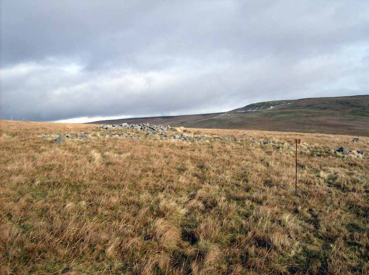
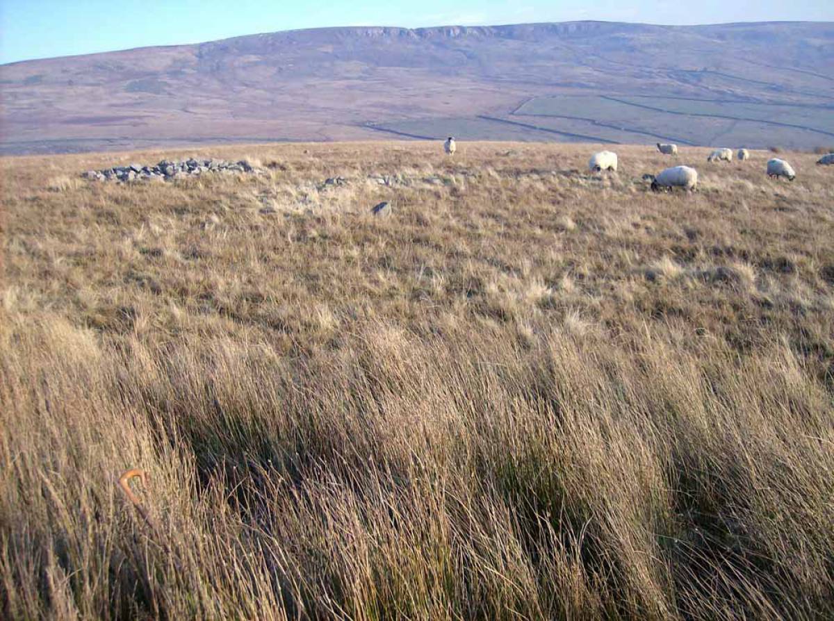
In consequence archaeological features were plainly and prominently visible. This is no longer the case, all features are now invisible or nearly so. They are now lost under thick, full height coarse grasses, bracken and rushes.
All the photo images below were taken many years ago when the Moor was probably over grazed.
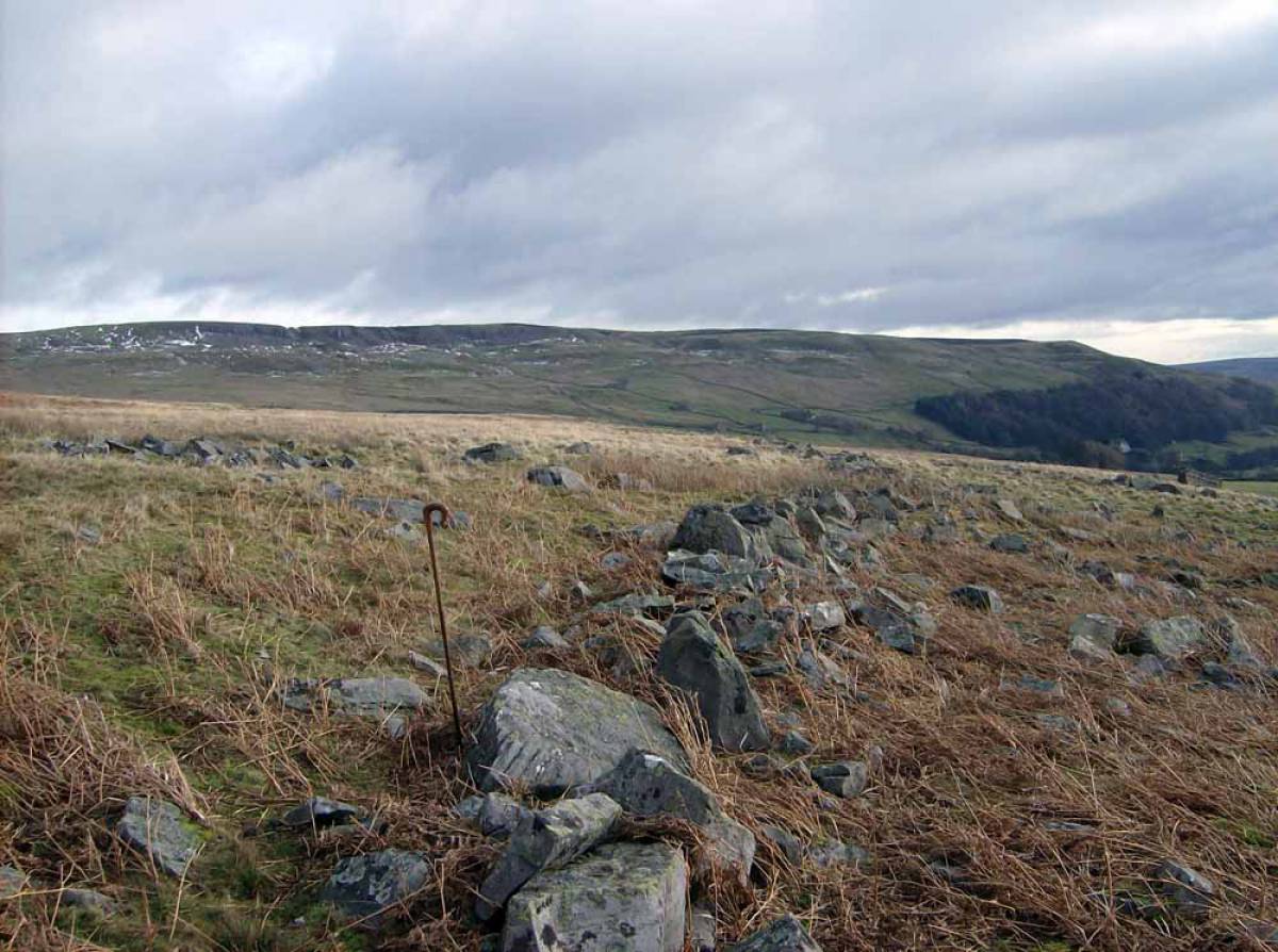
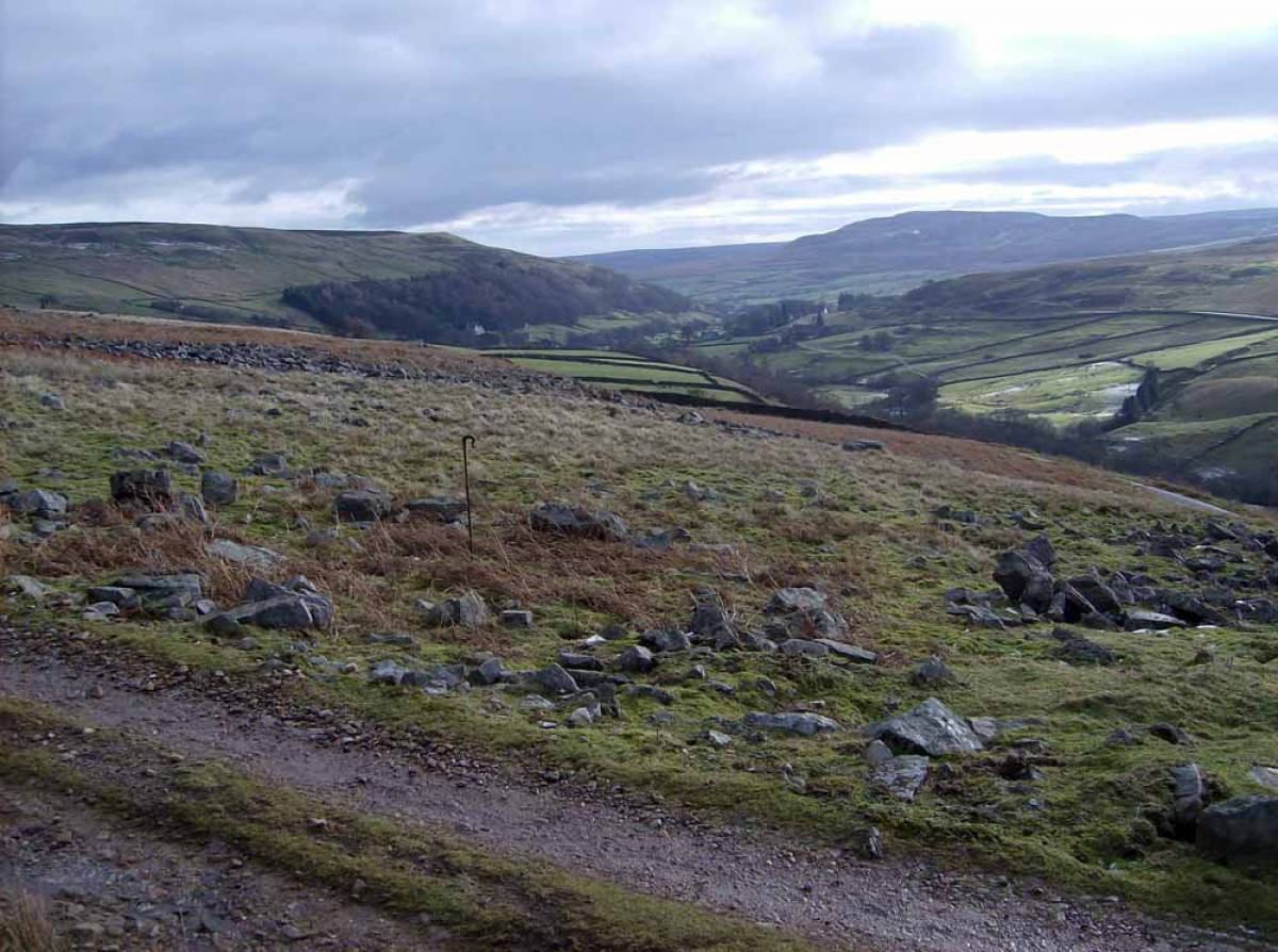
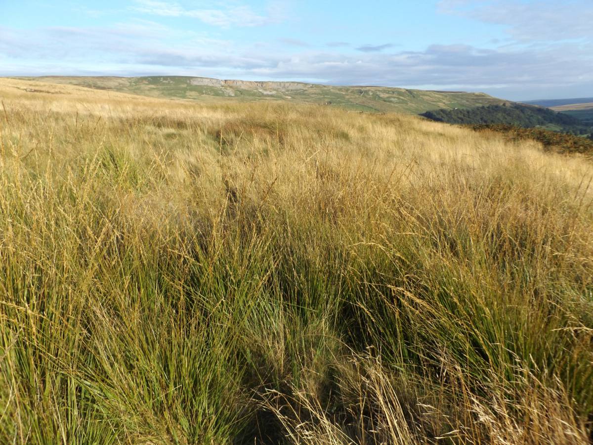
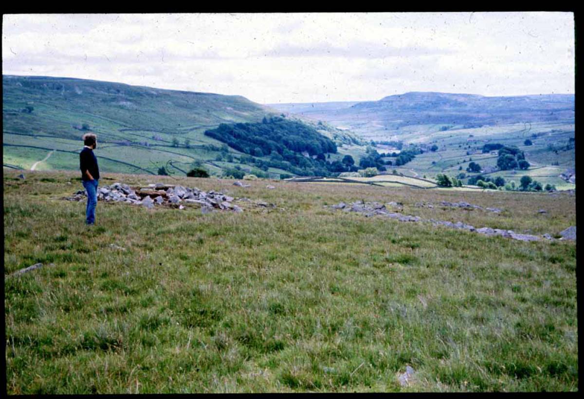
A few photographs (eg Image No 2 and the final Images, Nos 23-26 which were taken recently depict the moor as seen today. |
| Dimensions | See photos |
| Additional Notes | This record is intended to draw attention to the condition of some open Pennine moorland tracts following reduction of the numbers of sheep grazing.
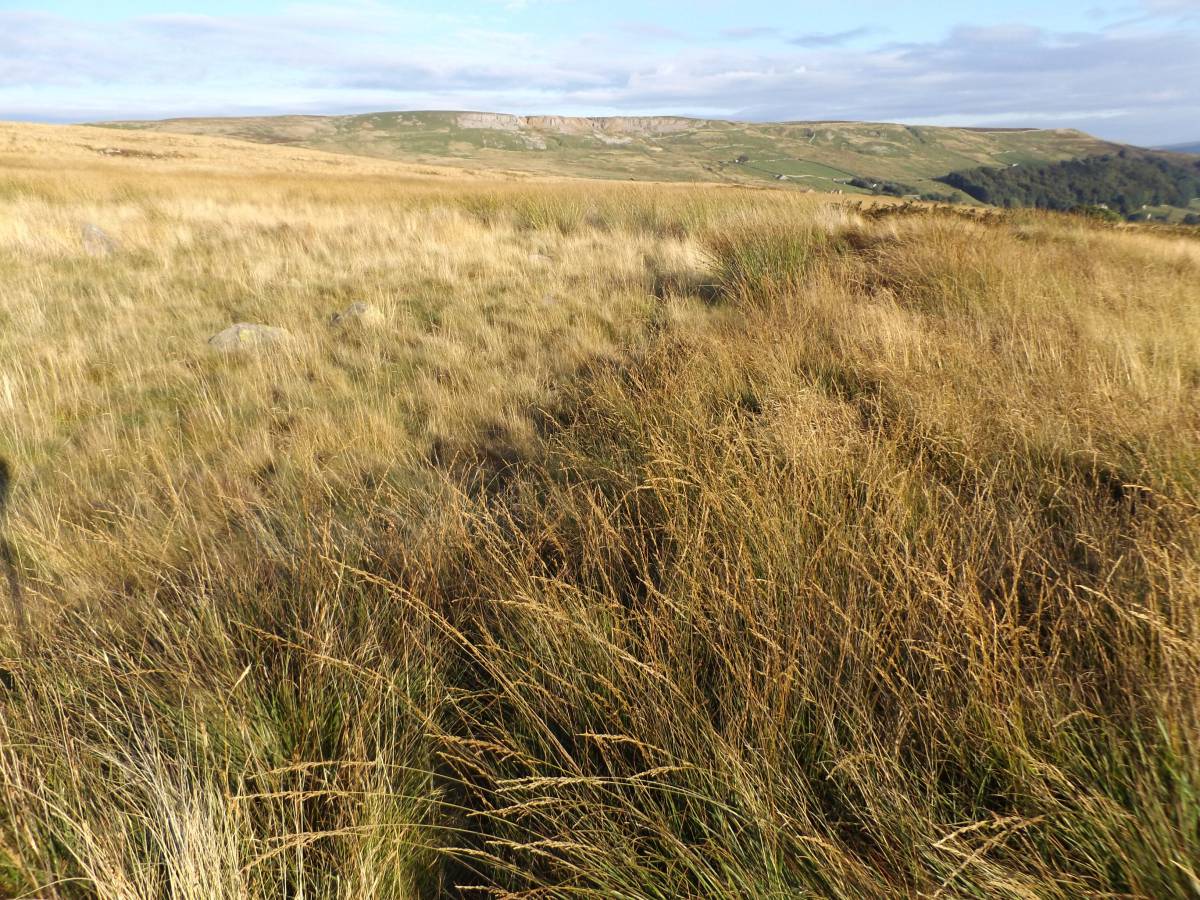
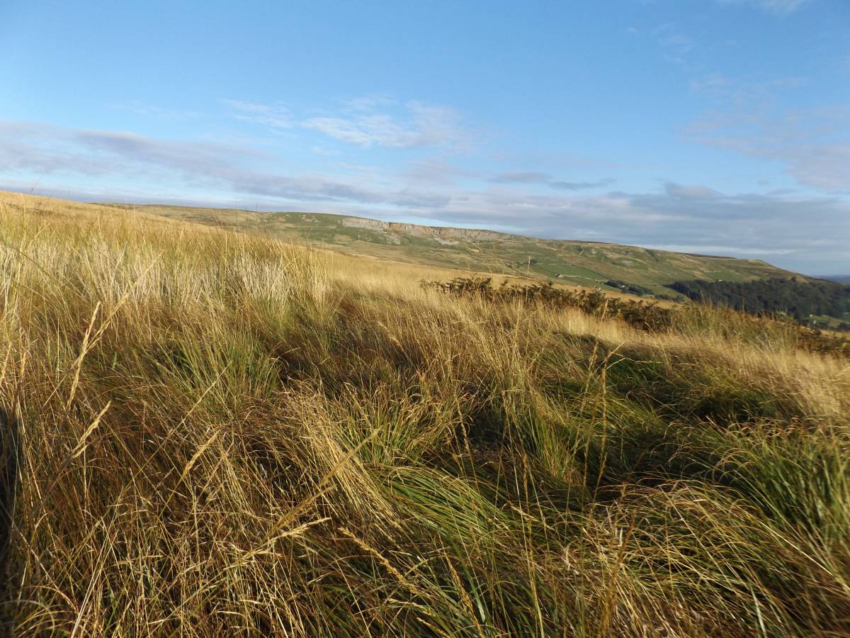
Some 20-30 years ago I photographed the early, as yet undated field system, the ring cairn. the cairn and and round house settlements seen in the photos below. At this time, the moors were generally over-stocked and this Moor, once heather covered had reverted to rough grassland. In consequence,the archaeological landscapes of Seal Houses Low Moor were plain to see during a pleasant walk across short upland grassland turf.
Following reduction of sheep numbers over the Pennines generally, the short pleasant turf of Seal Houses Low Moor is today un-grazed. Full height rank grassland of the most vigorous grasses- Deschampsia and Molinia with large areas of Soft Rush which will smother less vigorous grasses. These coarse grasses and rushes now entirely cover the archaeological features which are rendered completely invisible.
Furthermore, it is now almost impossible to walk through the long grass, rush and bracken which covers much of the moor. |
| Image 1 ID | 6915 Click image to enlarge |
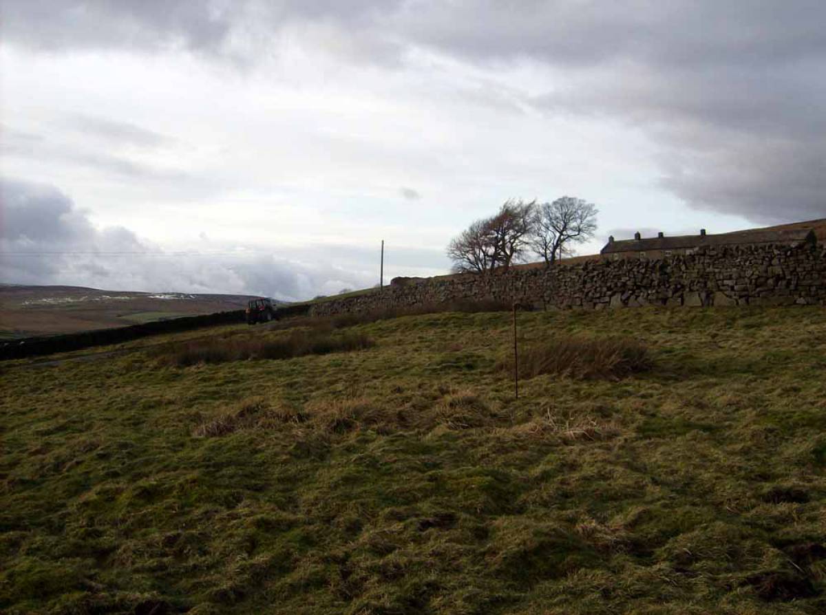
| Image 1 Description | Lower of the two coaxial field boundaries on Eskelleth Low Moor follows the upper edge of the screes above the road | 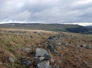 |
| Image 2 ID | 6939 Click image to enlarge |
| Image 2 Description | Today, just one short length of this same Field Boundary is visible before becoming lost beneath long grass and bracken. | 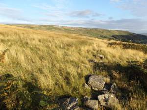 |
| Image 3 ID | 6914 Click image to enlarge |
| Image 3 Description | As seen 20 years ago, the lower of the two coaxial field boundaries on Eskelleth Low Moor follows the upper edge of the screes above the road | 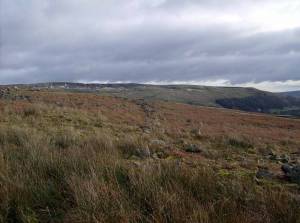 |
| Image 4 ID | 6916 Click image to enlarge |
| Image 4 Description | Lower of the two coaxial field boundaries on Eskelleth Low Moor follows the upper edge of the screes above the road | 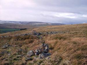 |
| Image 5 ID | 6917 Click image to enlarge |
| Image 5 Description | Upper of the two coaxial field boundaries | 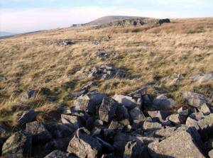 |
| Image 6 ID | 6918 Click image to enlarge |
| Image 6 Description | Field boundary crossing scree, note the clearance was from the downslope up to the boundary. | 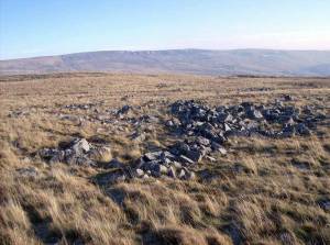 |
| Image 7 ID | 6919 Click image to enlarge |
| Image 7 Description | Field boundary crossing scree, at NY99400473 | 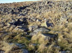 |
| Image 8 ID | 6920 Click image to enlarge |
| Image 8 Description | | 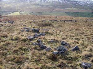 |
| Image 9 ID | 6921 Click image to enlarge |
| Image 9 Description | Field boundary at sheep fold. | 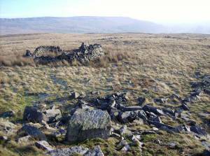 |
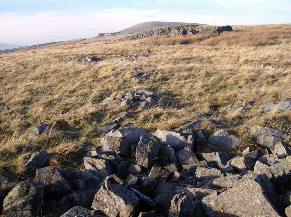
| Image 10 ID | 6922 Click image to enlarge |
| Image 10 Description | Round House close to track up to Kitley Hill | 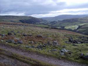 |
| Image 11 ID | 6924 Click image to enlarge |
| Image 11 Description | Round House in pasture close to the unenclosecd road below High Eskelleth. | 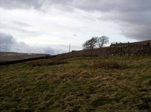 |
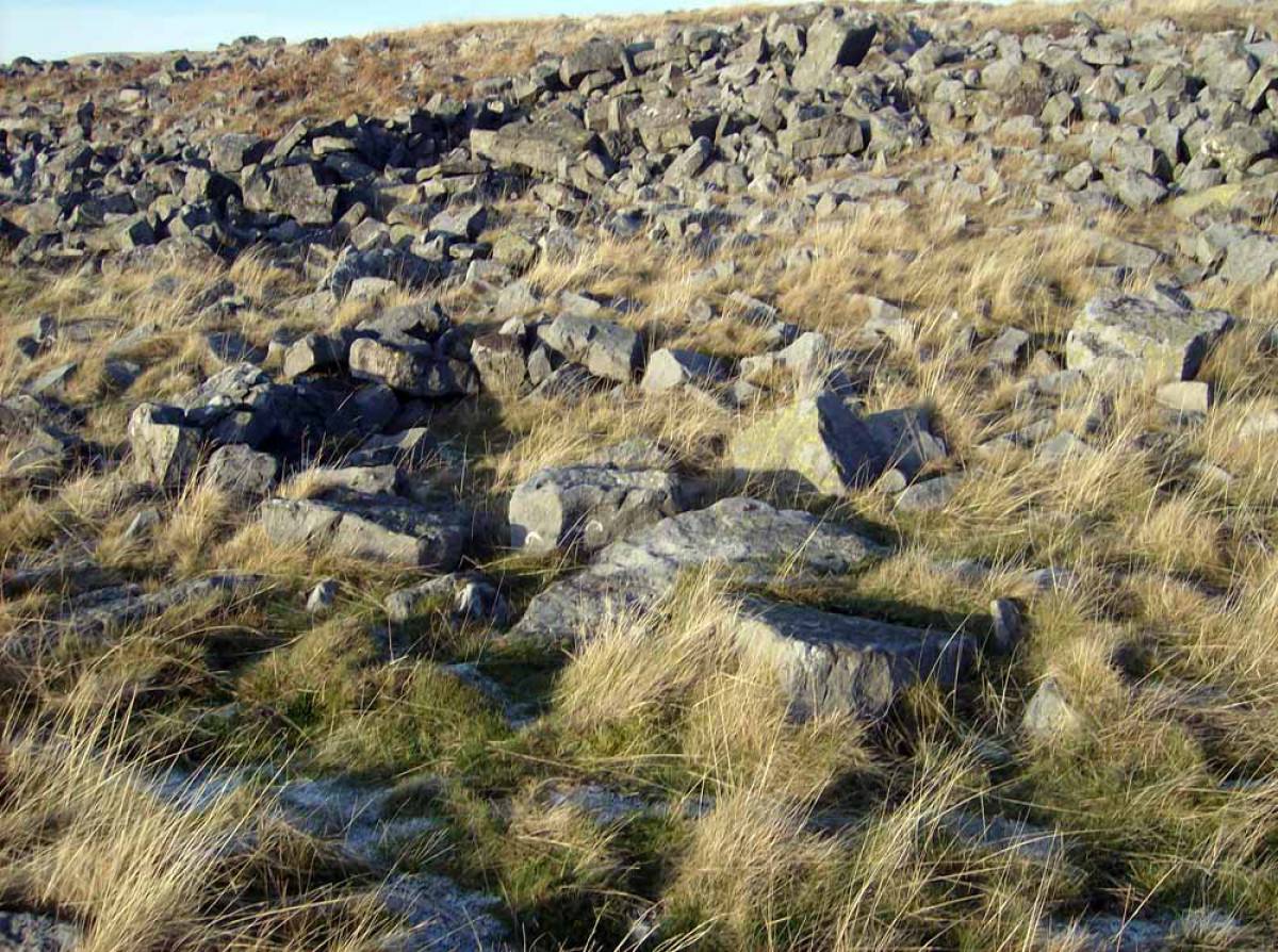
| Image 12 ID | 6936 Click image to enlarge |
| Image 12 Description | Coarse, rank grasses conceal all archaeological features and make walking over the moor very difficult. |  |
| Image 13 ID | 6925 Click image to enlarge |
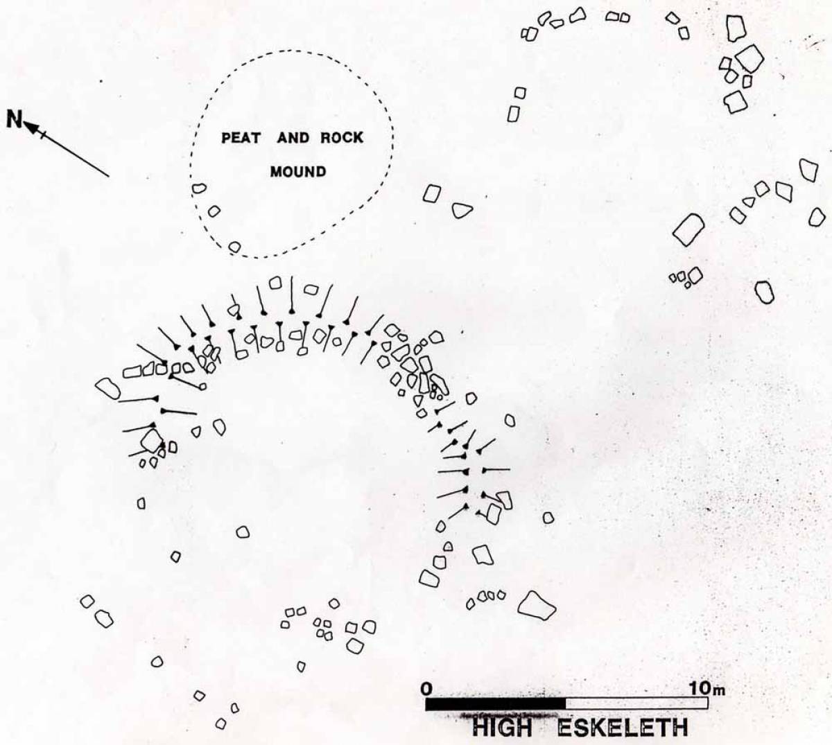
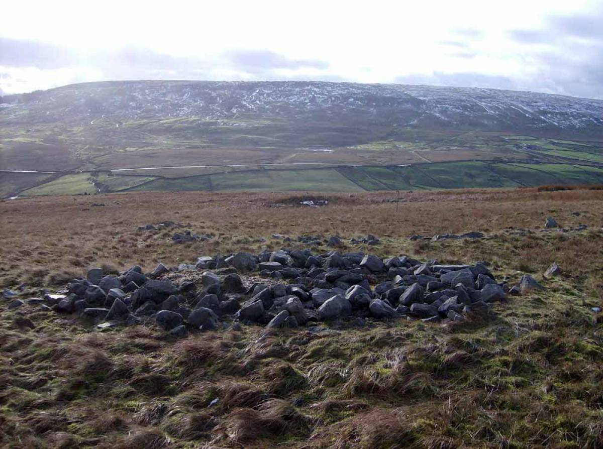
| Image 13 Description | Plane table survey of the round cairn with two adjacent ring banks thought at first to be ring cairns but now considered to be two round house enclosure banks. Copyright: Timothy.C.Laurie. | 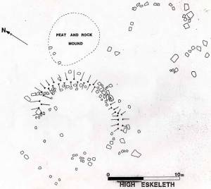 |
| Image 14 ID | 6926 Click image to enlarge |
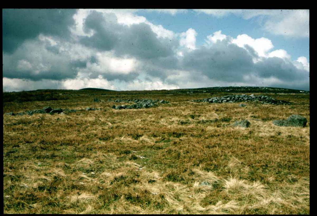
| Image 14 Description | Slide image of the cairn and ringwork taken many years ago. |  |
| Image 15 ID | 6927 Click image to enlarge |
| Image 15 Description | Andrew Fleming at the Ring Cairn and Cairn. | 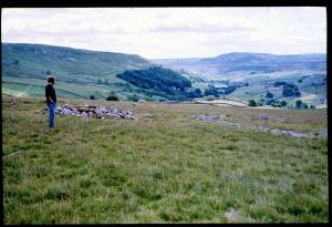 |
| Image 16 ID | 6928 Click image to enlarge |
| Image 16 Description | Cairn and Ring Cairn | 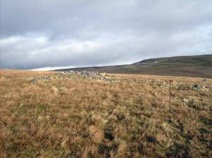 |
| Image 17 ID | 6929 Click image to enlarge |
| Image 17 Description | Cairn and Ring Cairn | 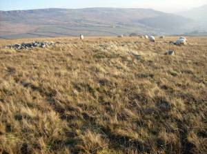 |
| Image 18 ID | 6930 Click image to enlarge |
| Image 18 Description | Cairn and Ring Cairn | 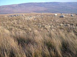 |
| Image 19 ID | 6931 Click image to enlarge |
| Image 19 Description | Cairn and Ring Cairn | 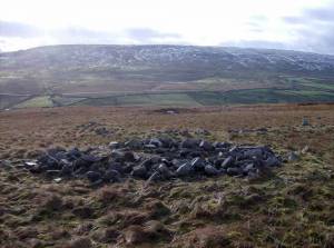 |
| Image 20 ID | 6932 Click image to enlarge |
| Image 20 Description | Cairn and Ring Cairn with view down through Arkengarthdale | 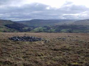 |
| Image 21 ID | 6933 Click image to enlarge |
| Image 21 Description | Ring cairn or round house No 2 at this location | 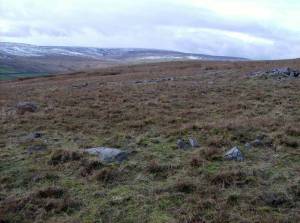 |
| Image 22 ID | 6934 Click image to enlarge |
| Image 22 Description | Cairn and Ring Cairn |  |
| Image 23 ID | 6935 Click image to enlarge |
| Image 23 Description | The Lower field boundary is invisible below bracken and rank Molinia and Deschampsia grasses today | 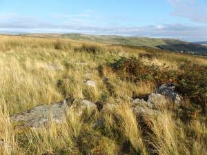 |
| Image 24 ID | 6936 Click image to enlarge |
| Image 24 Description | The Lower field boundary is invisible below rank Molinia and Deschampsia grasses today | |
| Image 25 ID | 6937 Click image to enlarge |
| Image 25 Description | The Lower field boundary is invisible below Bracken and rank Molinia and Deschampsia grasses today | 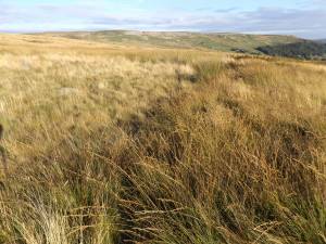 |
| Image 26 ID | 6938 Click image to enlarge |
| Image 26 Description | The Lower field boundary is invisible below Bracken and rank Molinia and Deschampsia grasses today | 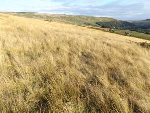 |
| Image 27 ID | 6940 Click image to enlarge |
| Image 27 Description | The Lower field boundary is invisible below Bracken and rank Molinia and Deschampsia grasses today | 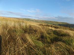 |
| Image 28 ID | 6941 Click image to enlarge |
| Image 28 Description | The Lower field boundary is invisible below Bracken and rank Molinia and Deschampsia grasses today | 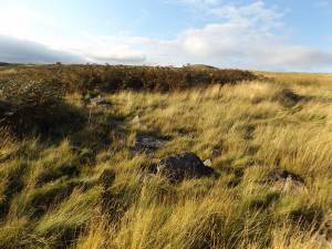 |